Native GPU Processing
COLMAP-powered feature extraction, sparse reconstruction and dense stereo with compatibility handling for older NVIDIA hardware.
From RTK imagery to engineering-grade spatial outputs.
MaticTech Mapper is a professional desktop photogrammetry suite for transforming geotagged RTK drone imagery into orthomosaics, terrain models, point clouds, 3D models and GIS-ready deliverables—entirely on the operator's workstation.
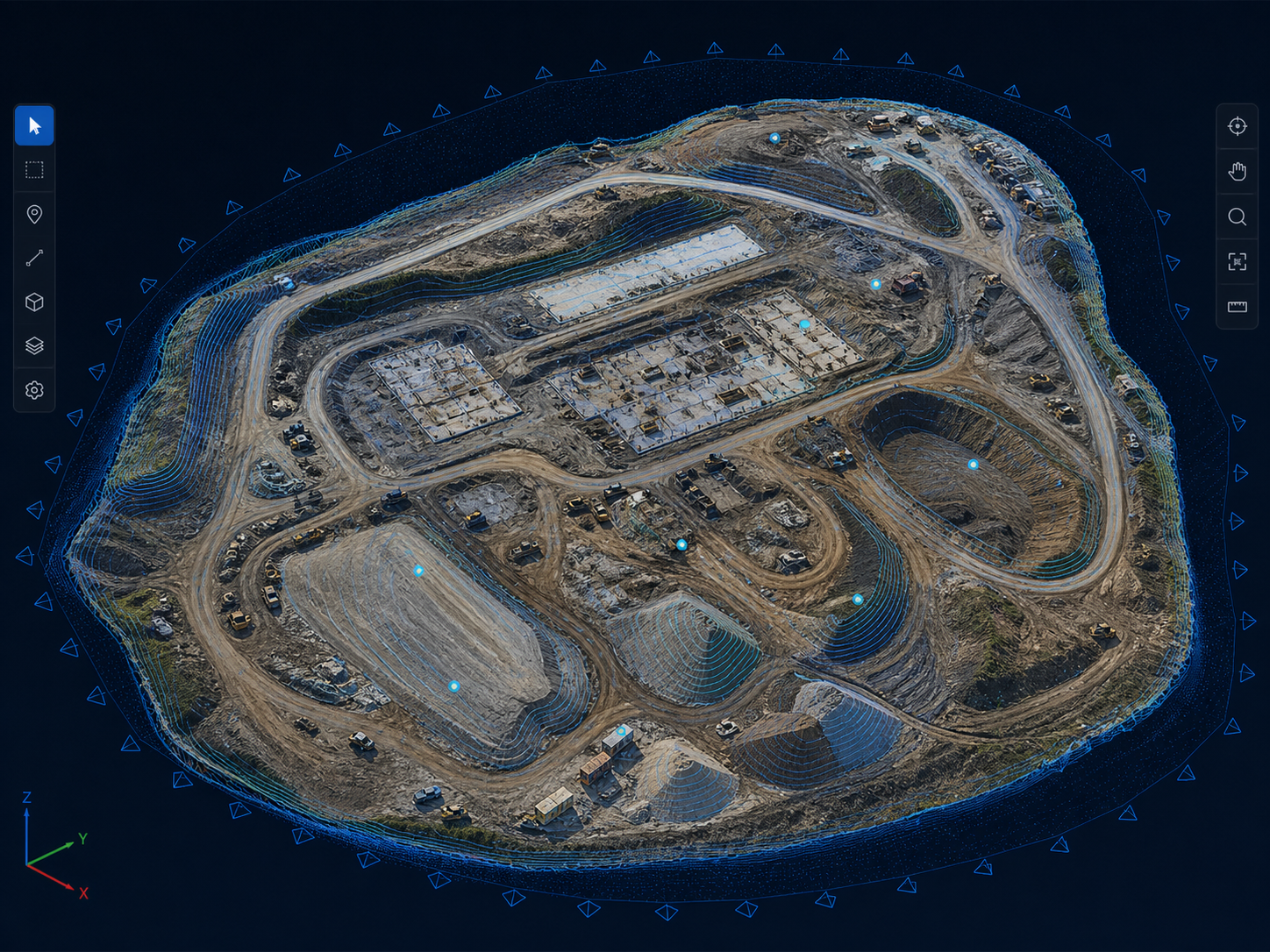
A single local workflow for reconstruction, georeferencing, analysis and export—built for survey teams that need control over their data and infrastructure.
COLMAP-powered feature extraction, sparse reconstruction and dense stereo with compatibility handling for older NVIDIA hardware.
High-precision geotags, PPK re-import, ground control points, coordinate systems and residual reporting.
Orthomosaics, DSM, DTM, contours and configurable ground sample distance for GIS workflows.
Local point-cloud and 3D visualization with LAS, LAZ, PLY, OBJ and Cesium 3D Tiles output.
Target-surface definition and volumetric comparison for construction progress and terrain planning.
Automated dataset checks, processing metrics, GCP residuals and printable technical reports.
Release will follow functional validation, representative dataset testing, performance profiling and installer verification.
WPF interface, project model, image import, processing engines and primary exports.
RTK datasets, GCP workflows, GPU compatibility and output accuracy are being tested.
Long-running reconstruction, memory use, cancellation and older NVIDIA hardware.
Installer verification, documentation, supported-hardware matrix and final acceptance.
MaticTech Mapper is designed for in-house processing. Survey images and derived outputs remain on the operator's Windows workstation—without cloud processing fees, per-seat licensing or mandatory uploads.
Survey imagery moves through a controlled local pipeline—from RTK capture and dense reconstruction to measurable engineering outputs.
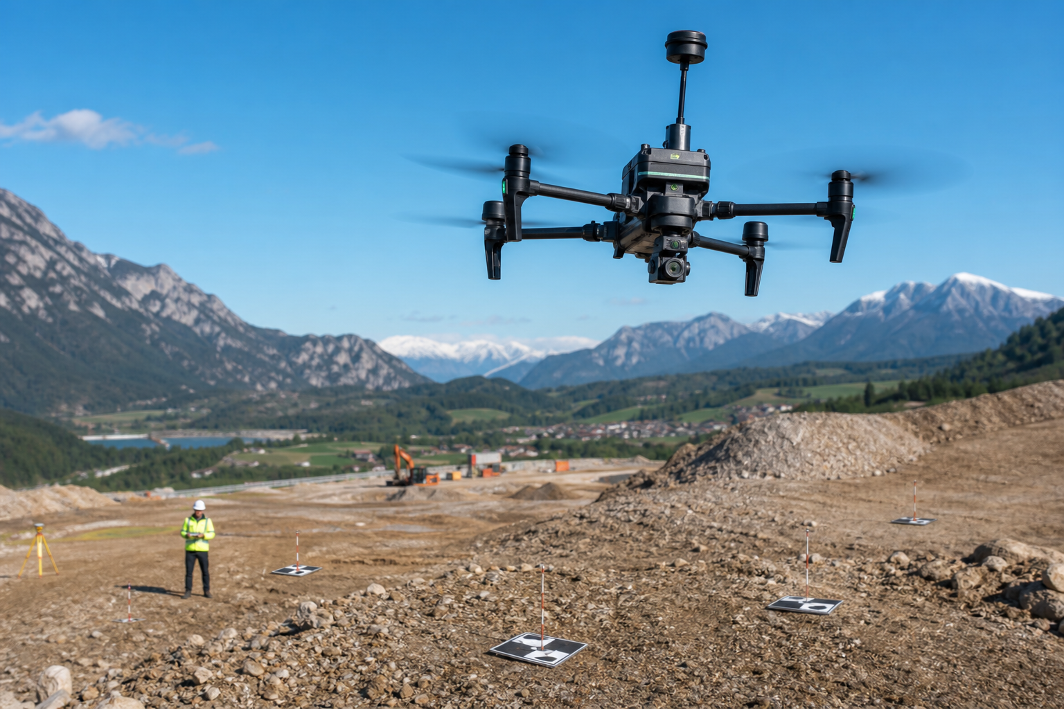
Geotagged aerial imagery, RTK precision, ground control and dataset validation before processing.
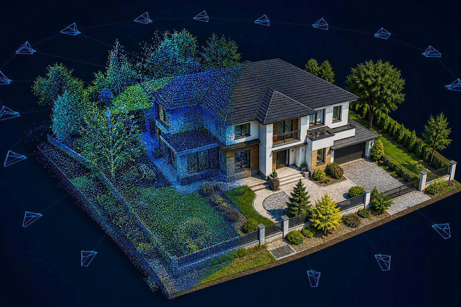
Dense point clouds and textured meshes reconstructed from overlapping drone photographs.
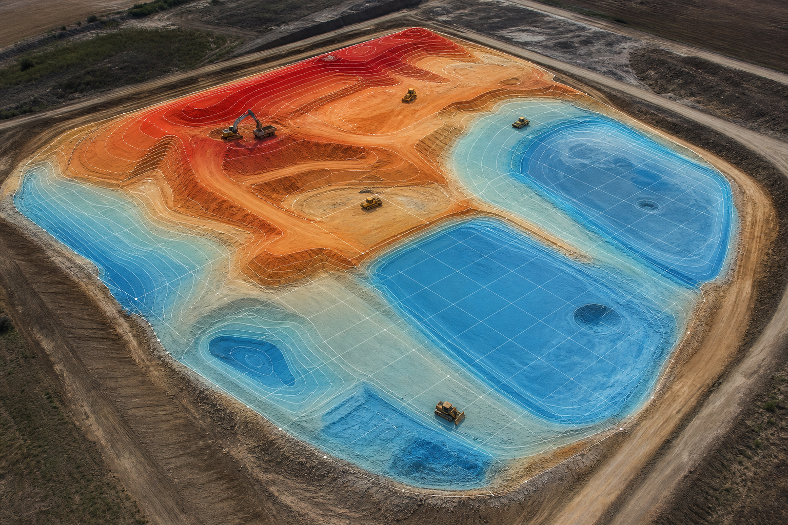
Existing terrain compared with a design surface to calculate and visualize earthwork volumes.
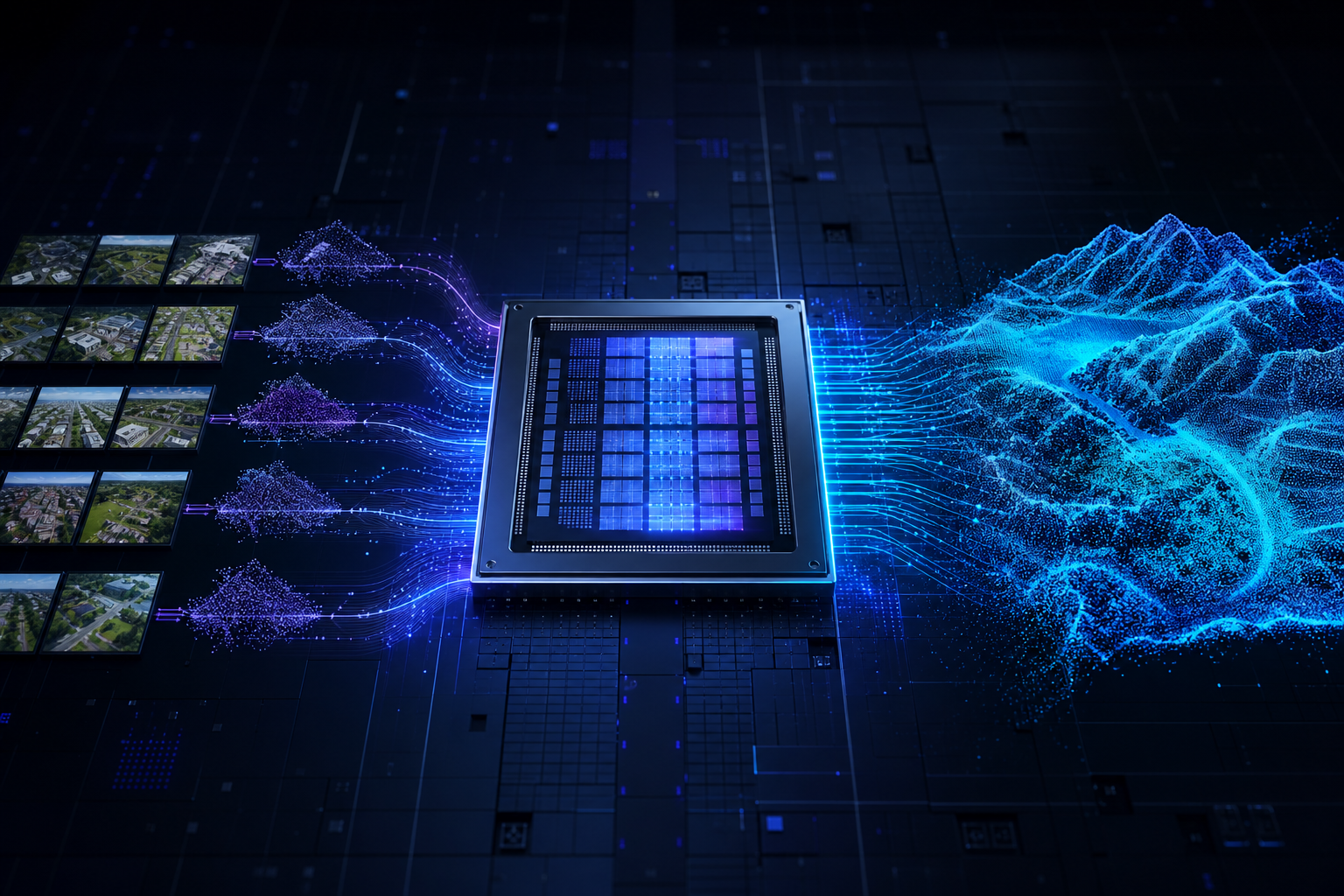
Research into parallel GPU kernels for selected photogrammetry workloads, throughput and memory locality. Not yet release ready.